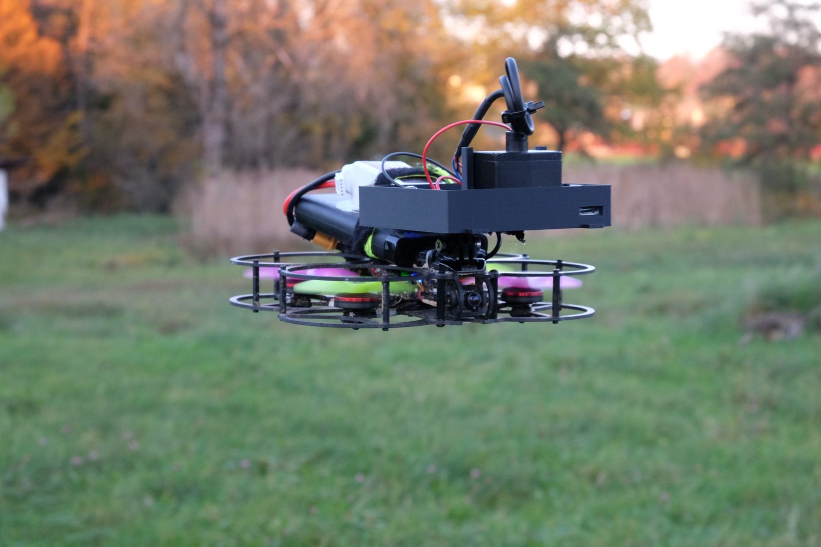
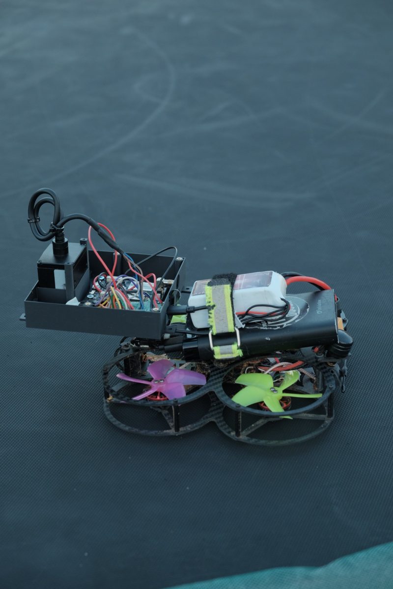
First test flight with our sensor box
Today we flew our sensor box for the first time, mounted on a homemade test drone. The laser and IMU collected data during two flights, each lasting about 2 minutes, at altitudes ranging from 1.5 to 8.6 meters. Using the IMU, we can correct the laser data for the drone’s tilt, and the data was recorded without any gaps. There wasn’t enough room on this drone for the GNSS receiver, so we tested it separately on the ground.
Next up for the sensors: testing the GNSS receiver in flight, and then moving on to the snow flights.